At Risk
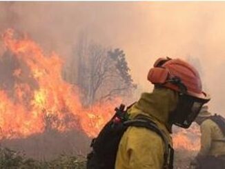
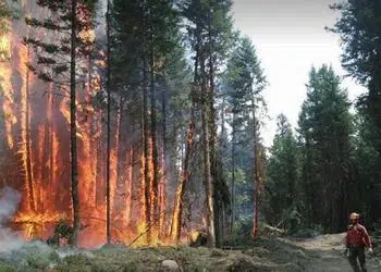
British Columbia Wildfires Force Thousands to Flee
VICTORIA, British Columbia, Canada, August 7, 2017 (ENS) – Hot and dry, the interior of British Columbia is ablaze with wildfires that have driven tens of thousands of residents from their homes and filled the skies over the province with smoke. International firefighting assistance is on the way. […]